SWERUS-C3
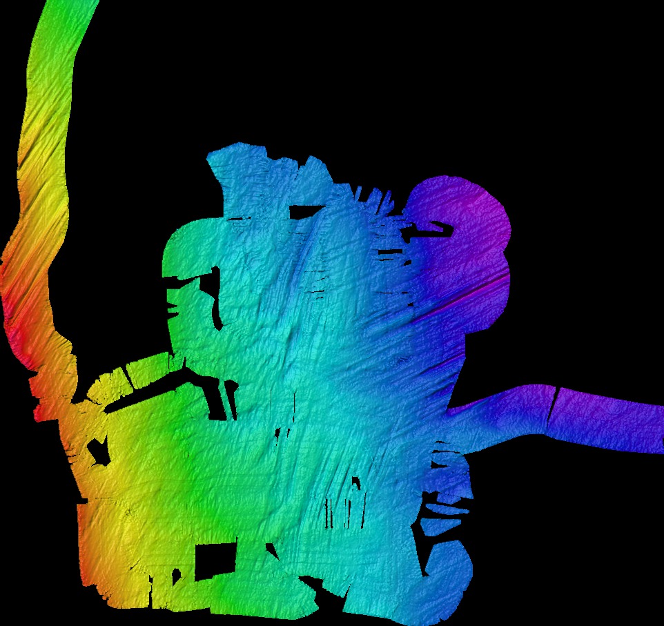
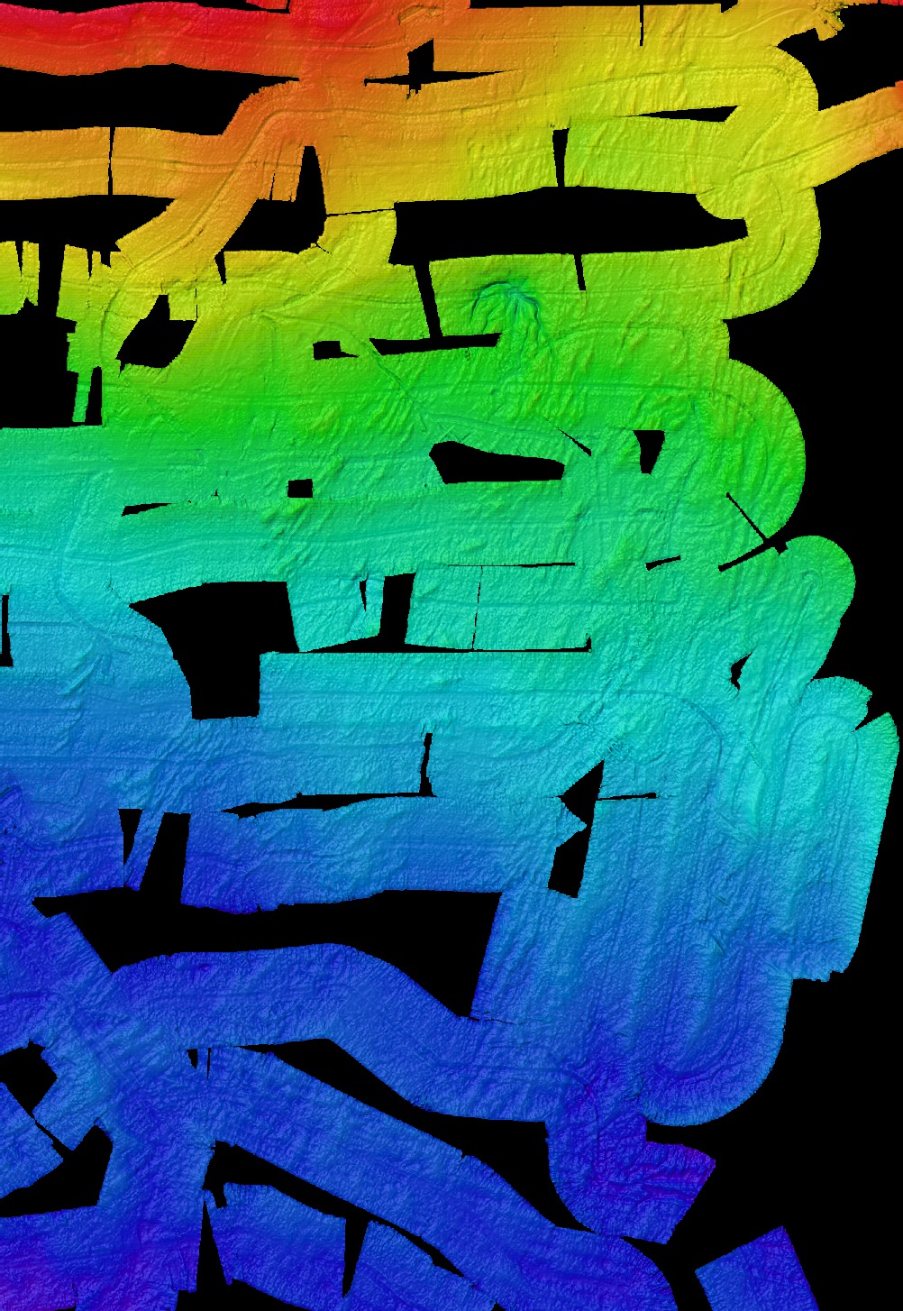
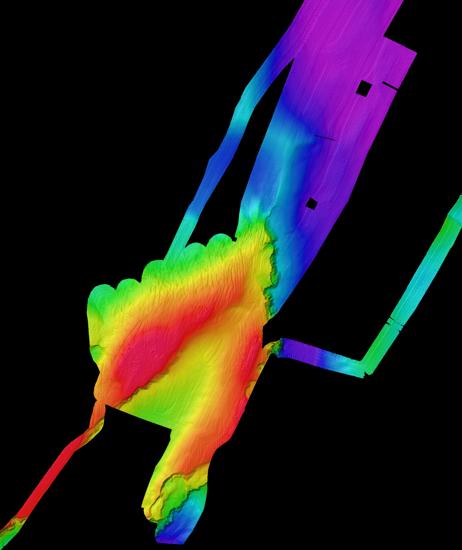
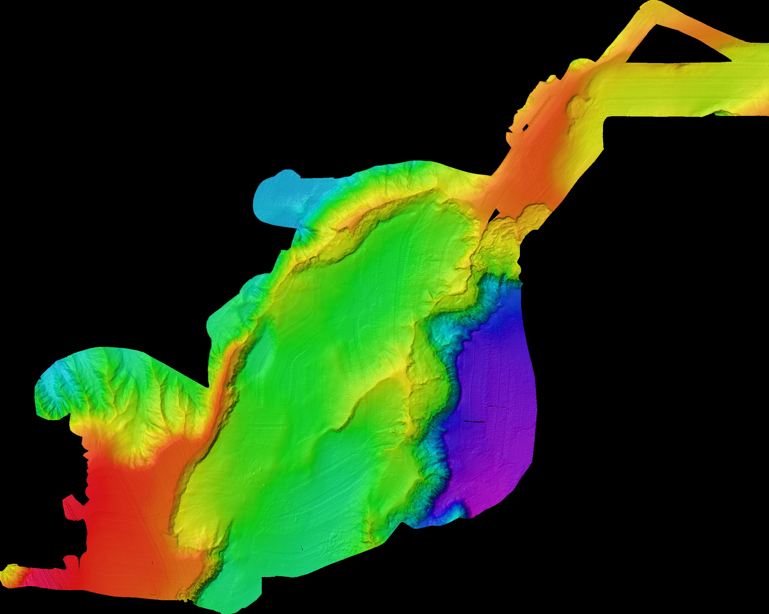
Multibeam bathymetry
Gridded multibeam bathymetry will be made available following publication. Two years after the expedition, all data will be available regardless if it has been published or not. The bathymetry is provided as grids in north polar stereographic projection, true scale 75 degrees north, central meridian 0 degrees. Horizontal datum is WGS84. Vertical datum is Mean Sea Level. The grids are provided as Fledermaus Objects in SD format and as ASCII text files. Raw data are available on request in Kongsberg .all format. Please cite the suggested article for each available grid.
All data were aquired with the Kongsberg EM122, 12 kHz, multibeam installed in Icebreaker Oden.
Please site: Jakobsson, M., Nilsson, J., Anderson, L., Backman, J., Bjork, G., Cronin, T. M., Kirchner, N., Koshurnikov, A., Mayer, L., Noormets, R., O'Regan, M., Stranne, C., Ananiev, R., Barrientos Macho, N., Cherniykh, D., Coxall, H., Eriksson, B., Floden, T., Gemery, L., Gustafsson, O., Jerram, K., Johansson, C., Khortov, A., Mohammad, R., and Semiletov, I., 2016, Evidence for an ice shelf covering the central Arctic Ocean during the penultimate glaciation: Nat Commun, v. 7. DOI: 10.1038/ncomms10365