Citation
Martin Jakobsson, Morten Sølvsten, Björn Eriksson, Benjamin Hell, Leonid Polyak, Ludwig Löwemark (2021) High-resolution bathymetry data from expedition LOMROG, Lomonosov Ridge, Arctic Ocean, 2007. Dataset version 1. Bolin Centre Database. https://doi.org/10.17043/oden-lomrog-2007-bathymetry-1
References
Jakobsson, M., Nilsson, J., O'Regan, M., Backman, J., Löwemark, L., Dowdeswell, J.A., Mayer, L., Polyak, L., Colleoni, F., Anderson, L., Björk, G., Darby, D., Eriksson, B., Hanslik, D., Hell, B., Marcussen, C., Sellén, E., Wallin, Å., 2010. An Arctic Ocean ice shelf during MIS 6 constrained by new geophysical and geological data. Quaternary Science Reviews 29, 3505-3517. https://doi.org/10.1016/j.quascirev.2010.03.015
Björk, G., Anderson, L.G., Jakobsson, M., Antony, D., Eriksson, B., Eriksson, P.B., Hell, B., Hjalmarsson, S., Janzen, T., Jutterström, S., Linders, J., Löwemark, L., Marcussen, C., Olsson, A.K., Rudels, B., Sellén, E., Sølvsten, M., 2010. Flow of Canadian basin deep water in the Western Eurasian Basin of the Arctic Ocean. Deep Sea Research Part I: Oceanographic Research Papers 57, 577-586. https://doi.org/10.1016/j.dsr.2010.01.006
Dowdeswell, J.A., Jakobsson, M., Hogan, K.A., O'Regan, M., Antony, D., Backman, J., Darby, D., Eriksson, B., Evans, D.J.A., Hell, B., Janzen, T., Löwemark, L., Marcussen, C., Noormets, R., Ó Cofaig, C., Polyak, L., Sellén, E., Sölvsten, M., 2010. High-resolution geophysical observations from the Yermak Plateau and northern Svalbard margin: implications for ice-sheet grounding and deep-keeled icebergs. Quaternary Science Reviews 29, 3518-3531. https://doi.org/2075/10.1016/j.quascirev.2010.06.002
Jakobsson M, Mayer LA, Bringensparr C, Castro CF, Mohammad R, Johnson P, Ketter T, Accettella D, Amblas D, An L, Arndt JE, Canals M, Casamor JL, Chauché N, Coakley B, Danielson S, Demarte M, Dickson M-L, Dorschel B, Dowdeswell JA, Dreutter S, Fremand AC, Gallant D, Hall JK, Hehemann L, Hodnesdal H, Hong J, Ivaldi R, Kane E, Klaucke I, Krawczyk DW, Kristoffersen Y, Kuipers BR, Millan R, Masetti G, Morlighem M, Noormets R, Prescott MM, Rebesco M, Rignot E, Semiletov I, Tate AJ, Travaglini P, Velicogna I, Weatherall P, Weinrebe W, Willis JK, Wood M, Zarayskaya Y, Zhang T, Zimmermann M, Zinglersen KB, (2020) The International Bathymetric Chart of the Arctic Ocean Version 4.0. Scientific Data 7:176. https://doi.org/10.1038/s41597-020-0520-9
Data
Data description
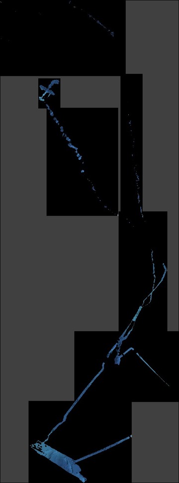
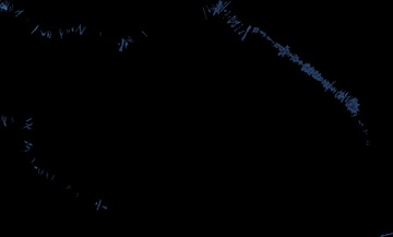
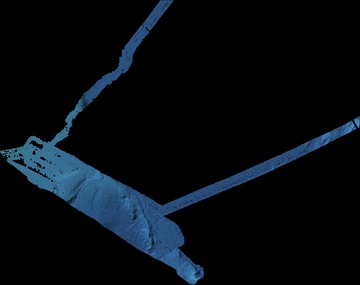
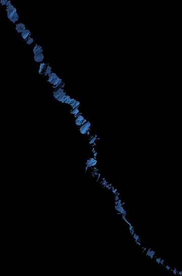
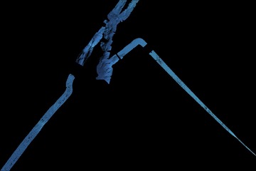
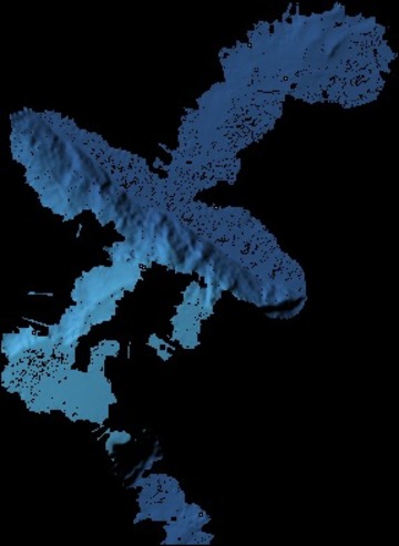
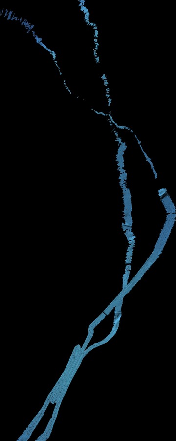
The bathymetric data are provided as processed grids, divided into survey areas, with a grid cell size of 100 – 200 m. The grids are provided both in polar stereographic projection (IBCAO Polar Stereographic, EPSG 3996, true scale at 75 degrees north) and in geographic coordinates (WGS 84, latitude and longitude). The horizontal datum is WGS 84 and the vertical datum is instantaneous sea level, implying that the vertical level has not been corrected for tides. For each projection, the bathymetric data grids are available in four formats: GeoTiff, netCDF, ASCII XYZ and ESRI Arc ASCII grid. Data are also illustrated as JPEG images.
Comments
The data were acquired in summer 2007 from Swedish icebreaker (IB) Oden during the LOMROG expedition. A Kongsberg EM122 1° × 1°, 12 kHz, multibeam echo-sounder was hull-mounted in IB Oden. Position, heading and attitude data were received from a Kongsberg-Seatex Seapath 320 navigation unit (GPS and GLONASS) with attached MRU5 motion sensor. The exact speed of sound at the multibeam transducers was provided by a Valeport Mini SVS/T sound speed and temperature sensor mounted in the sea-chest in Oden’s hull, close to the multibeam transducer arrays. This was interfaced with the multibeam system directly. In addition, sound speed profiles for the entire water column were provided by CTD (Conductivity, Temperature, Depth) stations as well as XBT (Expendable Bathy Thermograph) probes.
The data were collected in a mixture of sea-ice conditions, ranging from 5/10 to 8/10 coverage. Navigation was provided by a Seatex Seapath 320 without local augmentation as this is not available in the area. Sound speed correction was done regularly using data from a Seabird 911+ CTD (conductivity, temperature depth) or Valeport SVP (sound velocity profiler).
The LOMROG expedition started in Tromsø, Norway, August 12 and ended in Longyearbyen, Svalbard, September 17, 2007. This was a Swedish/Danish collaboration project with participating scientists also from Canada, Finland, and USA. With IB Oden supported by Russian nuclear icebreaker 50 Let Pobedy, LOMROG reached the southern most tip of the Lomonosov Ridge off Greenland. The LOMROG expedition constituted a project in the Arctic Palaeoclimate and its Extremes (APEX) research network programme endorsed by the International Arctic Science Committee (IASC) and the ICSU/WMO Joint Committee for the International Polar Year 2007/2008 (IPY).
Contact information
Email address
[javascript protected email address]Phone number
+46-8-164719
Postal address
Martin Jakobsson
Department of Geological Sciences
Stockholm University
SE-106 91 Stockholm
Sweden
GCMD science keywords
Earth science > Oceans > Bathymetry/seafloor topography > Bathymetry
GCMD location
Ocean > Arctic Ocean
Status
Completed
Dataset language
English
Project
Lomonosov Ridge off Greenland (LOMROG) 2007 expedition
Publisher
Bolin Centre Database
Begin date
2007-08-12
End date
2007-09-17
Dataset version
1
DOI
10.17043/oden-lomrog-2007-bathymetry-1
Published
2021-11-04 15:07:14
