Tarfala Data
Riukojietna
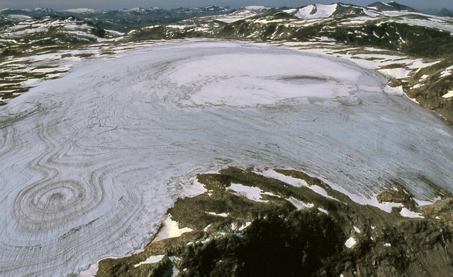
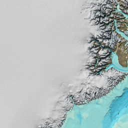
Riukojietna is located on the Norwegian border and is the only ice cap-type glacier in Sweden. Its main tongue is flowing towards east. The glacier is thin and its areal extent has decreased significantly during the 20th century. Between 1960 and 1978 its mass and its extension decreased 15 %. The glacier is described by Schytt (1963) and Rosqvist and Østrem (1989).
Monitoring data
The front position of Riukojietna has been mapped since 1963. Its bed topography was mapped in 1986 by Holmlund (Unpublished). Mass balance is measured on this glacier since 1986 when Dr. Gunhild Rosqvist started measurements for the purpose of a lake sediment study focusing on Holocene glacier variations. The glacier has also been cored for paleoclimatic information by Pohjola et al. (2005).
Time series
Winter mass balance, summer mass balance, net mass balance, equilibrium line altitude and ackumulation area ratio are available as time series in a single file.
Download data
Annual mass balance data
Data file and figure files in EPS format for a single year.
Download data
- Annual mass balance data
- Ablation gradient
- Net mass balance map
- Summer mass balance map
- Changes in specific mass balance (m) with elevation
- Winter mass balance map
- Snow density
- Time series of the annual mass balance
- Position of snow depth soundings and corresponding winter accumulation values (in metres water equivalent)
- Position of stakes and corresponding summer ablation values (in metres water equivalent)
- Distribution of net mass balance volume (m3) and area (m2) with elevation
Choose year
Two maps were constructed by Østrem showing its extension 1960 and 1978 (Rosqvist och Østrem 1989). Until about 1975 the glacier tongue ended in a proglacial lake with an ice cliff. This lower part was decoupled from the rest of the glacier and was totally melted off at about 1980. The present front is situated about 200 m distant and about 80 m higher than the lake.
Graph
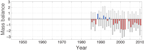
A graph of the Riukojietna mass balance record. White bars represent the winter balance and grey bars the summer balance. The net balance is given as blue for postive and red for negative.
Publications